Moresby Range Management Plan
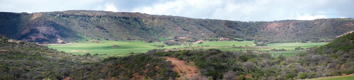
The Shire of Chapman Valley, in partnership with a range of key stakeholders, has been working towards the preparation of the Moresby Range Management Plan that presents a new vision for the section of the Moresby Range immediately south of White Peak Road and east of Geraldton.
It has been strongly informed by extensive community consultation that asked the people of the Mid West - What future did they want to see for the Range and how did they want to engage with the Range into the future? The major finding was that the community wanted the Range to be turned into a unique and iconic Park that would become an asset and a resource for the regional, Western Australian and international communities.
The Plan recognises that land in the Range is currently all privately owned, with the exception of a parcel of land on the western side of Wokatherra Hill that is managed by the Department of Environment and Conservation as a Nature Reserve. The Plan considered that the current landowners should receive a fair and reasonable exchange if they choose to place their land into the Park. This exchange, which may involve a mix of purchase, land swaps or development opportunities, would be determined on a case-by-case basis. In most cases land would not be acquired ahead of landowner agreement as it is considered inappropriate for State acquisition to occur before landowners are ready for such action.
The Plan also recognises that the final outcome may differ from what is proposed in the document and consequently the geographic area that may form the basis of a Park has been identified as “the Range Precinct” in this document.
A copy of the Moresby Range Management Plan is available for viewing by clicking on the links below.