Published on Tuesday, 26 September 2023 at 10:44:54 AM
Information supplied by Chalice Mining Ltd.
Chalice Mining Ltd. wishes to advise residents of an Airborne Geophysical Survey taking place within the City of Greater Geraldton and the Shires of Morowa, Mingenew, Yalgoo, Murchison and Chapman Valley.
MagSpec Airborne Surveys on behalf of Chalice are planning to fly an Airborne Geophysical Survey over granted exploration licences, commencing in October 2023, (see Figure 1a).
Figure 1a indicated the area where the Survey will be conducted, which may include some or all of your property. All Airborne Surveying undertaken is in line with Civil Aviation Safety Authority (CASA) regulation including:
- Flights will only be undertaken during daylight hours.
- Aircraft are not fitted with any cameras or video recording devices.
- When operating within 150m horizontally of any occupied building or vehicle, the aircraft will pull up to a height of 300ft. Once clear of the obstacle, the aircraft will descend back to survey height and continue.
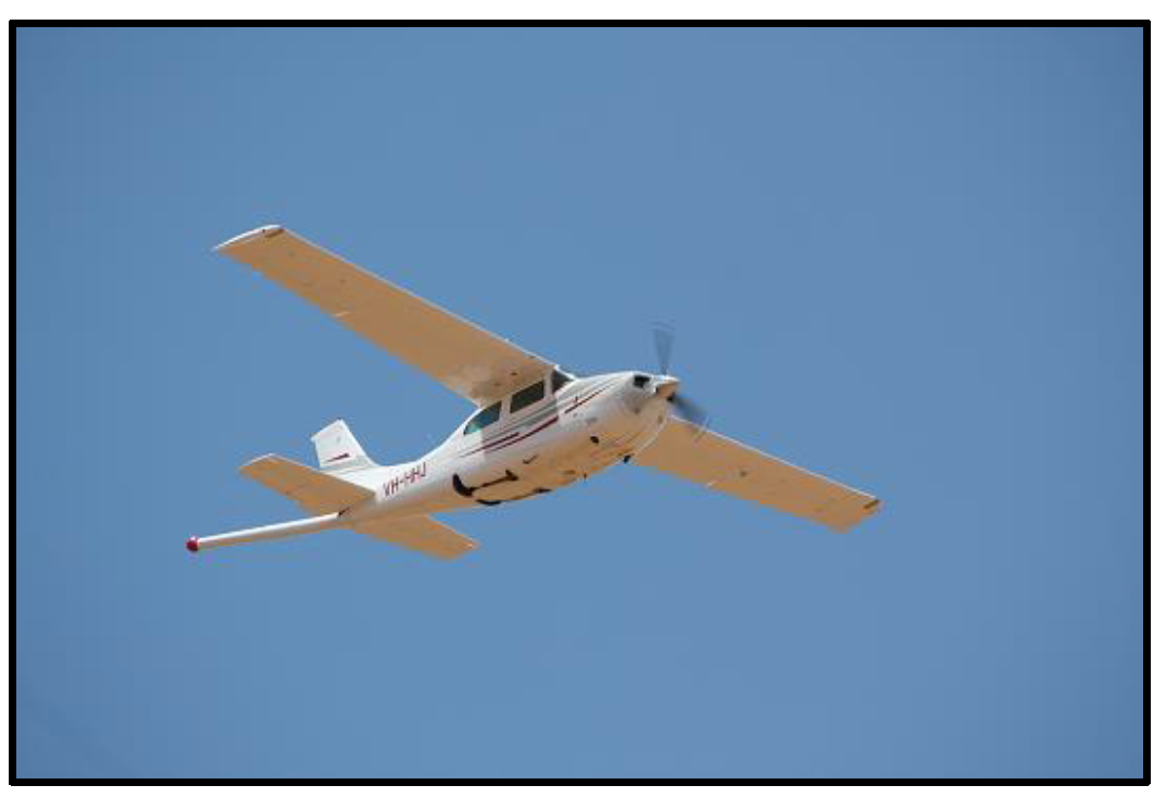
The Survey will be conducted using a Cessna 210 (see image 1b for typical set-up). The Survey will be flown at a flying height of 30-40m in a grid pattern, you may hear noise from the aircraft for a short period. Aside from the potential noise, the survey will have little-to-no impact on the surrounds. The aircraft will not land on or contact private propertyand will not fly directly over congregations of animals in pens or yards. If you see the aircraft, do not be alarmed, you are not required to take any action.
Airborne Geophysical Surveys are commonly flown throughout Australia and their primary purpose is to effectively screen large areas to define the subsurface geology.
If you are planning on undertaking any stock movements or have proposed or scheduled aerial mustering or aerial application activities within the area during the October, please contact Chalice community@chalicemining.com or 0487 371 961 so we can work with you to avoid disrupting your land use.
Please find a link to the ‘Exploration Explained’ information sheet prepared by the Association of Mining and Exploration Company (AMEC).
Yours sincerely,
Kevin Frost
General Manager - Discovery and Growth
Figure 1a: Map of Airborne Geophysical Survey area, scheduled for October 2023.
Figure 1b: Example of a Cessna 210 used for Airborne Geophysical Surveys.
Back to All News